
How we picture a glacier from space
Every picture on Adoptice is a real satellite scene, chosen for its clear sky and credited with its date. This is how we choose it, build it, and when we fall back to a coarser one.
By Adoptice · · 4 min read
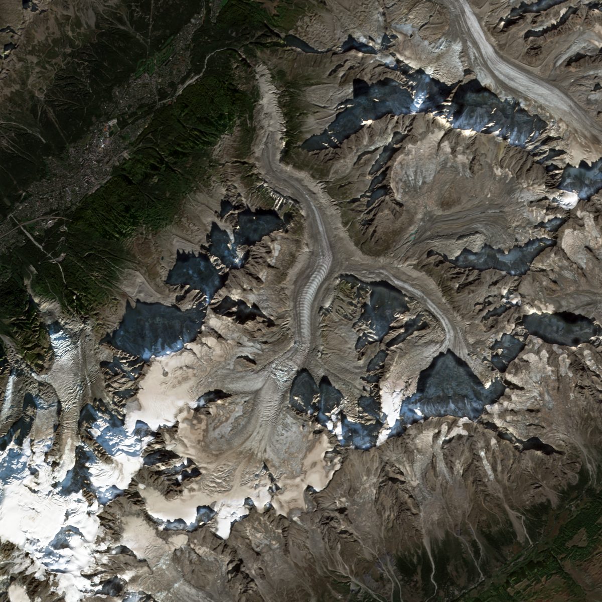
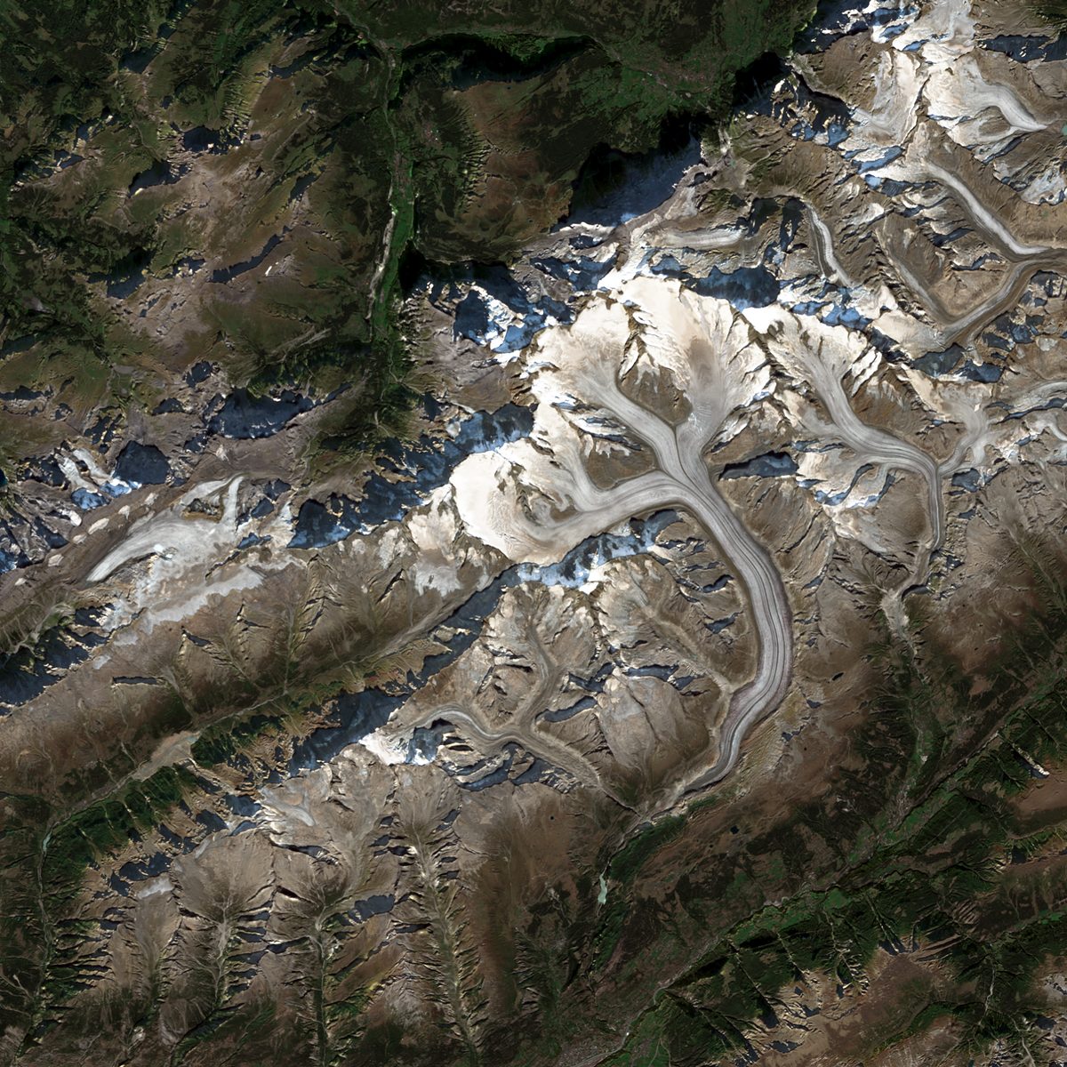
The picture at the top of a glacier or iceberg page is not a photograph and it is not an illustration. It is made from measurements taken by satellites, selected and framed by software we wrote. Here is what happens between the satellite and the page, including the parts that are less tidy than a picture suggests.
Where the pictures come from
Our main source is Sentinel-2, a pair of Copernicus satellites that image the land every few days. We use their Level-2A product, which has already been corrected for the effect of the atmosphere, so that the numbers describe the ground and not the haze above it. We take the red, green and blue bands, which Sentinel-2 records at 10 metres per pixel.
For places Sentinel-2 does not reach well, we use NASA's GIBS service, which serves daily pictures from the MODIS and VIIRS instruments. Those are far coarser, about 250 metres per pixel.
Counting clouds inside the frame
Each Sentinel-2 scene comes with a cloud percentage, but that figure is for a tile more than 100 kilometres wide. A glacier can sit in a clear patch of a cloudy scene, or the other way round. So we ignore the scene figure and measure the cloud inside our own frame, pixel by pixel, using the scene classification that comes with the product.
Snow and ice are easy to mistake for cloud, because both are bright and white. We add a second test with a shortwave-infrared band: snow and ice are dark in that band and water cloud is bright. A pixel the classification calls cloud, but which looks like snow in that band, is kept as ground.
Glaciers: one clear day, or several together
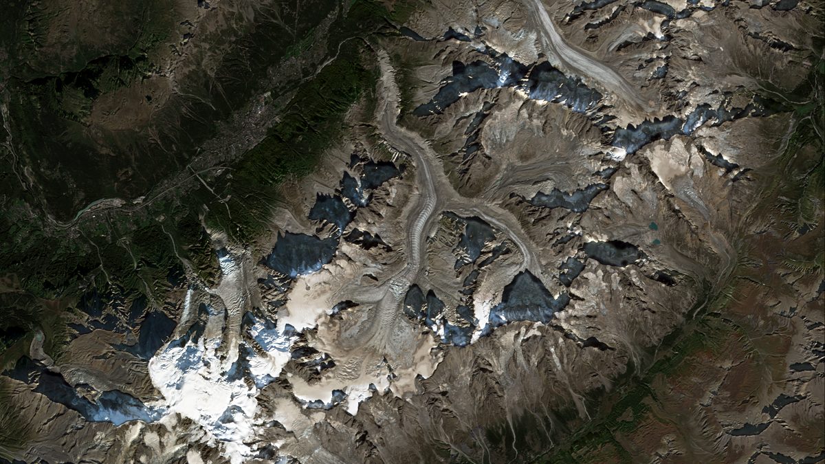
A glacier does not move far, so we are free to pick the best moment. We search the late summer of the glacier's hemisphere, when the seasonal snow has retreated and the ice and rock show best. We score up to 20 passes by the cloud inside the frame.
If one date is clear, we use it, and borrow from the next clearest dates only to patch small gaps, such as the edge of the satellite's swath or a stray cloud. If no single date is clear, we build a composite: for each pixel we take the median of the three to six clearest dates, all from one season. If too little of the frame is clear even then, we do not publish a Sentinel-2 picture for that glacier. A composite is marked as such in its credit line.
Icebergs: always one day
An iceberg drifts, so a composite would smear it across the sea. For an iceberg we use one date only. For each pass, we work out where the US National Ice Center said the iceberg was on that day, look for the ice body near that point, and keep the date on which that body is clearest. If none is clear enough, we say so and fall back.
When we use NASA GIBS instead
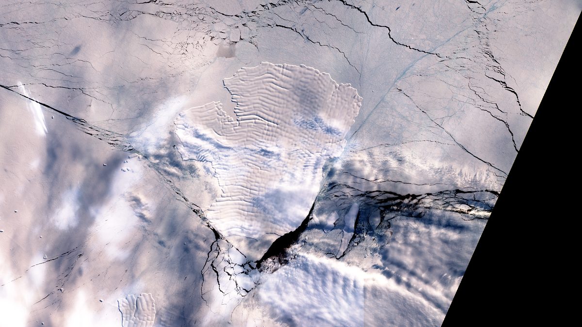
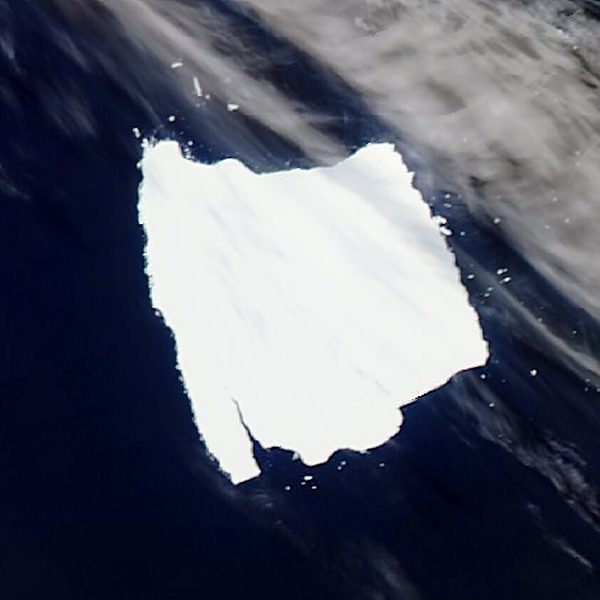
The very largest icebergs, those the list gives as longer than about 80 kilometres, rarely fit inside one Sentinel-2 pass, so we go straight to GIBS for them. We also use GIBS when an iceberg is out of Sentinel-2 reach, and as a last resort for a glacier. Before choosing a day we look at each candidate in a false-colour version, where ice shows cyan and cloud shows white, which tells ice from cloud better than natural colour does.
What we do to the colours
We crop to the frame and resample it to the picture size. We apply one contrast stretch and colour balance, built the same way for every picture: a white point so that ice stays neutral, a black point to remove haze, and a gentle curve so that dark rock and water are readable. We do not repaint, sharpen, upscale or add anything that was not measured. It is still a rendering, so the colours are a choice, and we would rather say so.
Credits and dates
Every picture carries its date and its credit. Sentinel-2 pictures read “Contains modified Copernicus Sentinel data” with the year. GIBS pictures read “Imagery: NASA EOSDIS GIBS / Worldview” with the instrument. Clouds, polar night and satellite schedules sometimes leave no clear picture, and then the page shows the latest clear one with its date. Nothing is invented to fill the gap.
The sources, licences and limits are set out on the data and methodology page, and every credit line is on the credits page.
Sources
Find a piece of ice to follow.
Following is free. Adopting gives you a certificate anyone can verify.
More from the blog
· 3 min read
A23A, the iceberg that would not leave
The US National Ice Center listed A23A every week for more than five years. Here is where it went, how its size changed, and what we do not know about its end.
IcebergsFarewell
· 2 min read
What it means to adopt a piece of ice
The ice is real and the adoption is symbolic. What you get, what you do not get, how anyone can check a certificate, and what happens on the day an iceberg leaves the list.
AdoptionCertificates